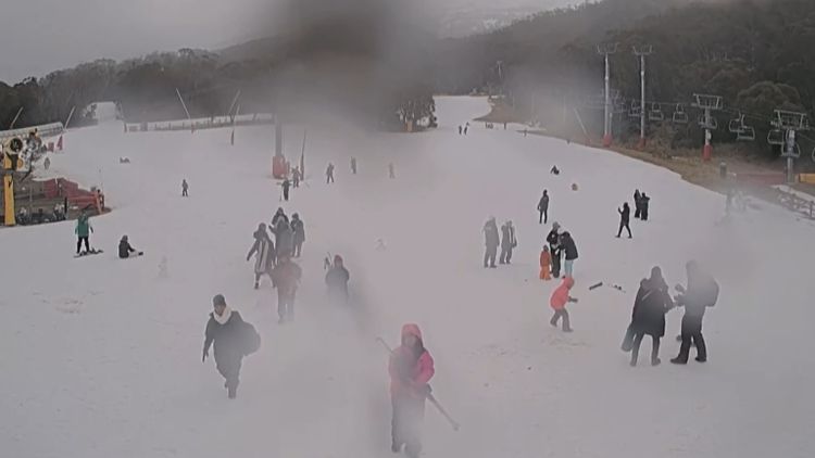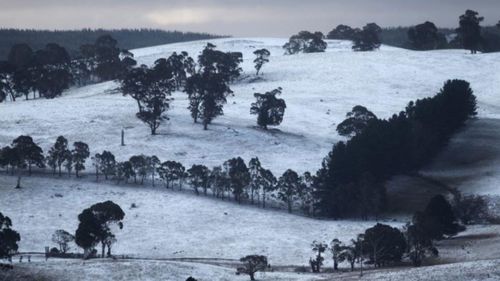
Inland parts of New South Wales, Victoria and Tasmania could be set for a dusting of snow from tomorrow.
The Bureau of Meteorology predicts a low-pressure system over the Tasman Sea will deepen, bringing more foul weather into next week.
But the wintery blast could also bring snow to inland parts of New South Wales including Armidale, Orange and the Blue Mountains.

Snow is set to fall across the Snowy Mountains, and in New South Wales the BOM predicts snow could fall anywhere with an elevation higher than 900 metres in the state's south, and 1100m in the north.
In Victoria, snow could fall in places with an elevation higher than 900m, with parts of Tasmania above 800m likely to see snow.
Multiple wind and wave warnings are in place across Australia's southeast coast.
The rain band set to continue sweeping up through Tasmania and into Victoria and inland NSW is expected to peak by Tuesday evening and ease on Wednesday.
The winter chill will leave Melbourne with a top of 12 tomorrow and persistent rain.
In New South Wales strong marine winds have been predicted for Batemans Bay and the Eden Coast.
The Illawarra Coast has also been warned of strong winds.
Sydney will otherwise be partly cloudy with a top of 17 degrees.
Tasmania is in line to cop the brunt of the bad weather next week.
Hobart is set to shiver with maximums of just 10 degrees, with freezing southerly winds making it feel close to zero according to WeatherZone.
Brisbane will see a top of 20 degrees tomorrow, while Adelaide and Perth will have possible showers.
Darwin will be a tropical 32 degrees.


