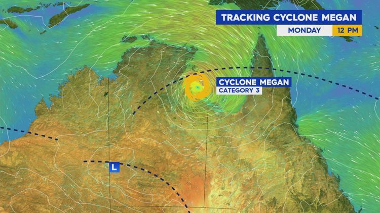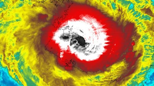
Another tropical cyclone is set to hit Australian shores, prompting warnings for residents in the Northern Territory and Queensland.
Tropical Cyclone Megan is now rated a category three storm, and is expected to make landfall at Borroloola in the NT tonight or tomorrow morning.
The cyclone formed on Saturday afternoon in the Gulf of Carpentaria, and has already dropped half a year's worth of rain on the island of Groote Eylandt.

The island recorded 431mm in the 24 hours to 9am on Sunday, and 249mm the previous day, adding up to 680mm.
Wind gusts of 110km/hr have been recorded, with winds at the "very destructive core" of the cyclone rising to 200km/hr, according to the Bureau of Meteorology.
Destructive gusts of more than 125km/hr are likely to develop along the south-western Gulf of Carpentaria coast, between Nathan River in the NT and the Queensland border this morning.

Residents in northern parts of the Top End have been warned to prepare for the storm or leave before it hits.
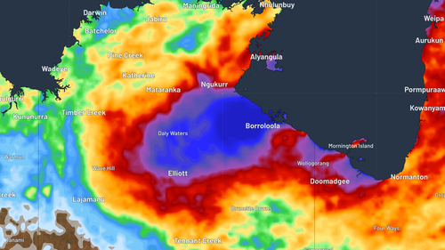
"Rainfall looks to be heaviest in the Carpentaria region of the NT, with areas on Megan's western and northern flanks the most likely to see the heaviest falls," Weatherzone reported.
"Widespread falls of 100-200mm are expected, with isolated falls of 300-500mm expected over the mainland in addition to the rain already fallen."
Aussies brave icy cold waters to mark the winter solstice
The Bureau of Meteorology has also forecast "abnormally" high tides.
Megan is forecast to weaken over Tuesday as it moves overland.


