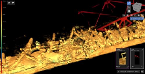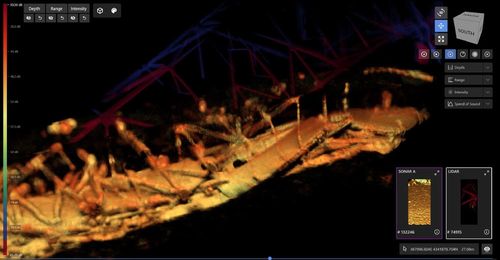
Newly-released sonar images show wreckage from the Baltimore bridge that suddenly collapsed last week after it was struck by a giant container ship.
They were made public by the United States Army Corps of Engineers as efforts to remove debris of the Francis Scott Key Bridge from the Patapsco River continue.
Authorities say they images reveal "the sheer magnitude of the very difficult and challenging salvage operation ahead".

They were taken by the US Navy's Naval Sea Systems Command's underwater sonar tool, known as CODA Octopus.
Divers involved with the salvage operation have reported visibility beneath the river of less than a metre because of the mud churned up on the river bed.
"Divers are forced to work in virtual darkness, because when lit, their view is similar to driving through a heavy snowfall at night with high-beam headlights on," the US Army Corps of Engineers said in a statement.
"No usable underwater video exists of the wreckage, because as one navy diver stated, 'there's no need take video of something you can't even see'."
The water is so murky that divers have to be guided by verbal instructions from sonar operators in surface vessels.

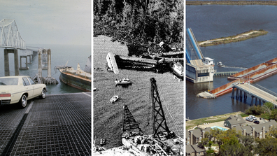
US bridge collapse disasters through history
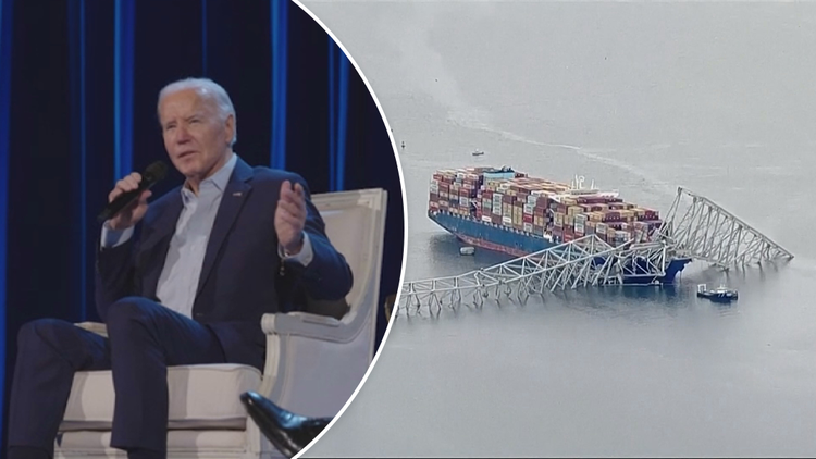
The bridge collapsed last Tuesday after being struck by the cargo ship Dali, which lost power shortly after leaving Baltimore, bound for Sri Lanka.
The ship issued a mayday alert with just enough time for police to stop traffic, but not enough to save a roadwork crew filling potholes on the bridge.
The accident also blocked access to the Port of Baltimore, a major shipping port.
US President Joe Biden is expected to visit the collapse site on Friday.
FOLLOW US ON WHATSAPP HERE: Stay across all the latest in breaking news, celebrity and sport via our WhatsApp channel. No comments, no algorithm and nobody can see your private details.


